
Buying Land in NH or VT? Why a Geologic Assessment Drives the Cost to Drill a Well in NH
Purchasing land in New England often starts with an evaluation of surface features—scenic views, road access, and soil drainage. However, for properties located outside municipal utility zones, the most critical infrastructure lies hundreds of feet underground. A reliable, clean water supply is the foundational requirement of any habitable property.
Prospective buyers, property developers, and builders often underestimate the extreme variability of groundwater in this region. Assuming that any parcel of land will yield clean water simply by drilling a vertical hole is a significant financial risk. Understanding the underlying geology is the only way to accurately project the cost to drill a well in NH and VT. A preliminary geologic water assessment helps buyers avoid parcels with inaccessible water or hazardous geogenic contaminants, ensuring the property is structurally and chemically viable for a family home before the deed is signed.
The Hidden Realities of New England Crystalline Bedrock
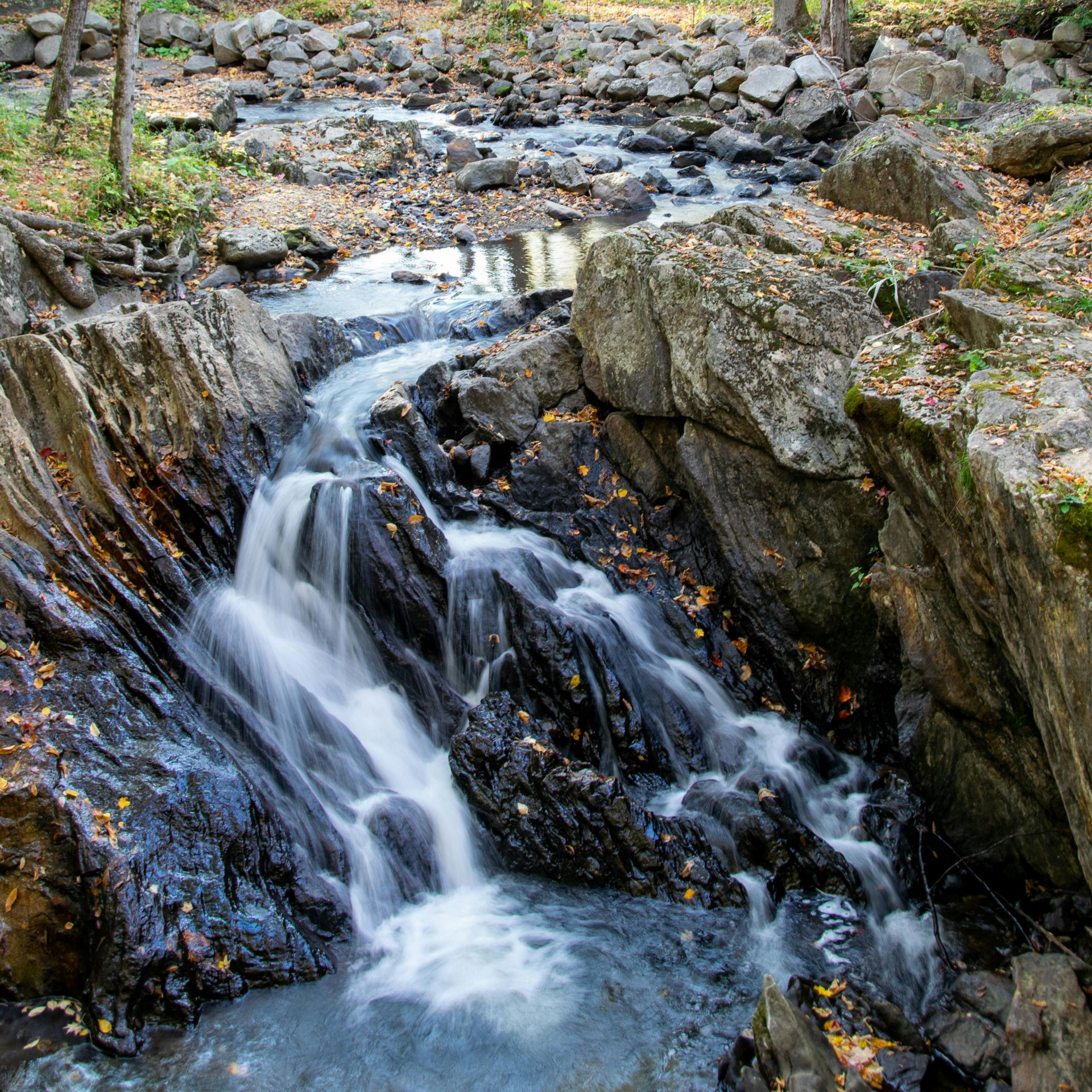
Unlike the sedimentary geologies of the Midwest, where aquifers exist as vast, predictable layers of porous sandstone, New England sits on a crystalline basement. The bedrock beneath Vermont and New Hampshire consists of complex, dense metamorphic and igneous rock formations. These rocks possess virtually zero primary porosity, meaning they do not hold water like a sponge.
Instead, groundwater in our region relies entirely on "fracture flow." Water is stored in and moves through a scattered, irregular network of cracks, faults, and joints created by ancient tectonic activity. When a drilling rig bores a hole into the earth, it must successfully intersect these specific, water-bearing fractures to produce a usable yield for a household.
Because these fractures are highly localized and unpredictable, it is impossible to guarantee water based solely on surface topography. A geologic assessment reviews regional well completion data and bedrock maps to estimate the likelihood of intersecting a productive fracture network. If the local geology indicates massive, unfractured stone, the property may require drilling to extreme depths, dramatically increasing the initial infrastructure investment required to make the land habitable.
Factoring the Cost to Drill a Well in NH and VT Based on Geology
The specific lithology—the physical characteristics of the rock—directly dictates the equipment, time, and materials required for a drilling project. This variability makes estimating a uniform, predictable cost to drill a well in NH nearly impossible without first evaluating the specific parcel of land.
For example, drilling through the Bethlehem Granodiorite found in parts of New Hampshire is a slow, abrasive process. The rock is exceptionally hard, causing rapid wear on drilling tools and requiring high-pressure pneumatic hammers to penetrate. While the rock is physically stable, the fractures within it are often widely spaced, meaning drillers may need to penetrate several hundred feet before finding sufficient water flow.
Conversely, areas in Vermont featuring the Waits River Formation present a completely different mechanical challenge. This geology includes soft phyllites and impure marbles that are prone to sloughing and caving during the drilling process. To stabilize a borehole in this crumbling rock, technicians must drive heavy steel casing much deeper than usual to seal off the unstable upper layers. Because steel casing is one of the most expensive material components in water well drilling, drilling through soft rock can sometimes cost significantly more than drilling through hard rock.
Furthermore, state health codes dictate strict placement rules. In New Hampshire, a new well must be located at least 75 feet from a septic leach field or property boundary. On a small or steeply sloped lot, these mandatory setbacks often limit the drilling location to a single spot, entirely overriding any geological preferences.
Geogenic Contaminants: Arsenic, Uranium, and Manganese
Securing a high volume of water is only half the objective; the water must also be chemically safe to consume. New England geology is a recognized hotspot for naturally occurring geogenic contaminants. These invisible minerals dissolve from the bedrock into the groundwater as it slowly moves through the fractures over centuries.
In the granites and pegmatites of New Hampshire, uranium is naturally prevalent. As uranium decays in the bedrock, it produces radon gas, which dissolves into the groundwater under pressure. When this water is pumped into a home and aerated through showerheads or washing machines, the radioactive gas is released into the indoor air, presenting a severe inhalation hazard.
In metasedimentary schists across both states, arsenopyrite is a common mineral. As groundwater flows through these rocks, it absorbs arsenic. Arsenic is highly toxic, completely invisible, and lacks any taste or odor. Furthermore, arsenic exists in different chemical states, primarily Arsenite (As-III) and Arsenate (As-V). As-III carries no electrical charge, making it exceedingly difficult to filter out without specialized pre-oxidation equipment.
A thorough assessment prior to purchasing land helps identify if the parcel sits over formations like the Ammonoosuc Volcanics, which are notorious for high iron and manganese concentrations. Knowing the chemical risks in advance allows buyers to factor the cost of comprehensive well water testing and permanent, engineered filtration systems into their overall property development budget.
Contingency Planning: What Happens When a New Well Yields Low Water?
Even with comprehensive geological mapping, drilling a dry or low-yield well is a physical reality in crystalline bedrock. A standard residential home typically requires a reliable continuous flow of several gallons per minute to support modern plumbing, irrigation, and daily family use. If a newly drilled borehole fails to produce adequate water, abandoning the hole and drilling a second well is a catastrophic expense for a new home build.
Understanding the available contingency options is a vital part of the land development process. In New England, the standard protocol for a low-yield well is not to drill deeper, but to mechanically widen the existing fractures. This is accomplished through a process that injects strictly potable water into the borehole under extreme pressure.
The immense pressure physically forces existing, microscopic cracks in the bedrock to open wider and propagate outward until they intersect a larger, water-bearing fracture network. This method often transforms a non-functional well into a highly productive one for a fraction of the cost of drilling a completely new hole. Familiarizing yourself with hydrofracking prior to purchasing a difficult parcel of land ensures you have a viable, safe rescue plan if the initial drilling yield is insufficient.
Frequently Asked Questions
Can a piece of land in New Hampshire or Vermont simply have no water?
Yes, it is physically possible to drill a well and not find a usable water supply. Because the region relies entirely on fracture-flow aquifers, a vertical borehole must intersect a crack in the solid rock. If the bedrock beneath a specific property is massive and lacks interconnected fractures, the well may remain essentially dry regardless of how deep it is drilled.
While completely dry holes are uncommon, low-yield wells are very frequent. This inherent risk is why reviewing local well completion reports and understanding the specific bedrock formations on a parcel is a necessary step before finalizing any land purchase.
Does a neighboring property's well guarantee good water on a new lot?
No. The unpredictable nature of crystalline bedrock means that water chemistry and water yield can change drastically over very short distances. Groundwater travels through isolated, distinct veins in the rock rather than sitting in a uniform underground pool.
A well on a neighboring property might intersect a fracture fed by a clean, shallow source, while a new well drilled just one hundred feet away might intersect a deep vein running through arsenic-rich rock. You cannot rely on a neighbor's water quality or well depth to accurately predict your own property's potential.
How do property lines and septic systems affect where a well is drilled?
State environmental and health regulations mandate strict physical setbacks to prevent the biological contamination of drinking water. For a standard residential property, a well must typically be drilled at least 75 feet away from any part of a septic leach field or wastewater system.
It must also be set back from property boundaries to ensure the "cone of depression" (the area of groundwater drawn toward the well during pumping) does not pull contamination from neighboring parcels. On small, narrow, or steeply sloped lots, these rigid setbacks often dictate the exact location of the well, overriding geological preferences entirely.
If the bedrock has high arsenic, can the water still be used?
Yes, the water can be made safe for domestic use, but it requires highly specific, engineered filtration. Standard over-the-counter water softeners or carbon pitcher filters cannot reliably remove dissolved heavy metals or metalloids from a primary water supply.
If a property is located on arsenic-bearing rock, the water must undergo precise laboratory analysis to determine the total concentration and the exact species of arsenic (As-III or As-V). Once the chemistry is identified, professionals can install oxidation and adsorption media systems to physically remove the hazard before the water enters the home's plumbing framework.
What is the difference between air rotary drilling and sonic drilling for a new well?
Air rotary drilling is the traditional and most common method used for residential water wells in New England. It uses a pneumatic hammer and rotation to crush the hard bedrock, using compressed air to blow the rock cuttings and water out of the hole to the surface. It is highly effective and cost-efficient in solid rock.
Sonic drilling is an emerging technology that uses high-frequency resonance to fluidize the soil and rock. It is significantly faster when drilling through difficult, unstable surface layers (overburden) like boulders, cobbles, and glacial till. Sonic drilling also produces far less mess and waste on the surface, making it favorable for sensitive or highly landscaped properties, though it generally requires a higher initial investment.
Conclusion
Securing a reliable water source in the complex geology of New England requires proactive planning rather than assumptions. By identifying fracture likelihood and specific lithology, property owners can accurately project the cost to drill a well in NH and Vermont before committing to a land purchase. A thorough geologic water assessment removes the guesswork from property development, ensuring that the land you purchase can safely and reliably support the home you intend to build.
For property owners seeking additional information or professional support related to this topic, Wragg Brothers Well Drilling provides well drilling and water system services in New Hampshire. Learn more at https://www.wraggbrothers.com/.